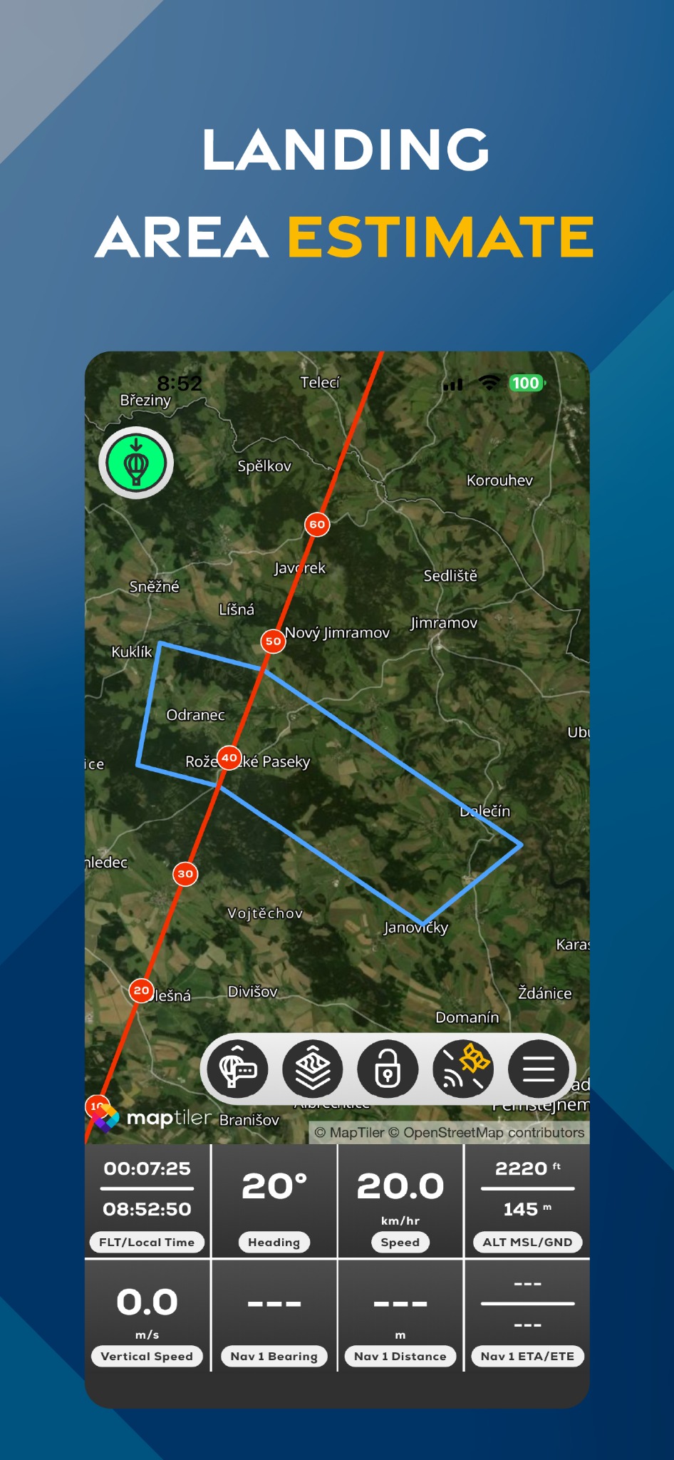
View a projected area or projected landing points at configured descent rates.
Landing Range displays a projected landing area based on winds aloft logged during the flight. Descent Point calculates projected landing points using the configured LOW and HIGH descent rates.
The result is not a guaranteed reachable or suitable landing location.
FlyMate landing area estimate
In this chapter
Planning and navigation
Create waypoints, measure, estimate landing areas and review weather information.