
Chapters and articles
05Planning and navigation

Weather, METAR/TAF and Rainfall Radar

Premium

Use nearby aviation reports, wind tools, Windy and the Premium radar layer.

The Weather area provides wind trajectories, nearby METAR and TAF reports and access to Windy. Premium includes Rainfall Radar with timeline controls in current releases.

A missing station, report or radar image can reflect distance, provider coverage, connection, licensing or update timing.
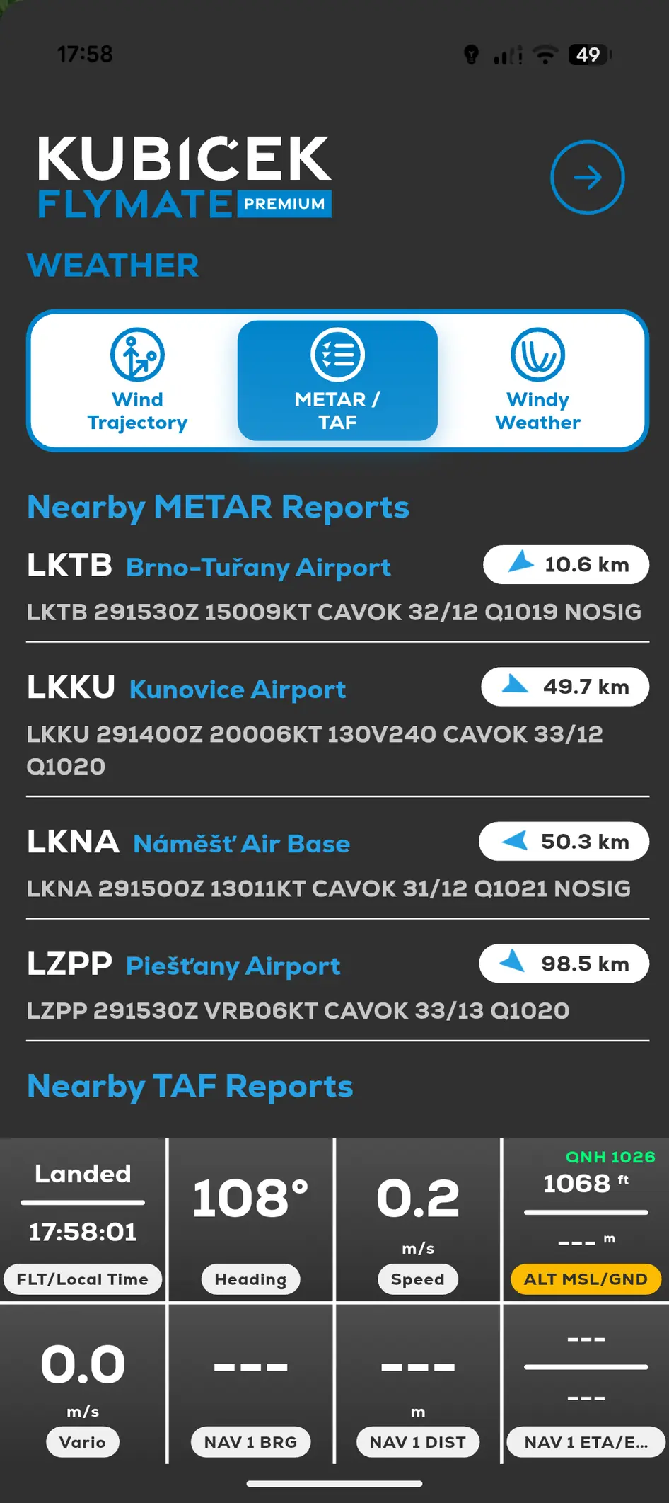
FlyMate Weather screen with nearby METAR and TAF reports
  1. 01

    Open Menu and Weather.

  2. 02

    Choose the required tool.

  3. 03

    For radar, confirm the selected timeline time.

  4. 04

    Compare critical information with the applicable official source.

In this chapter

Planning and navigation

Create waypoints, measure, estimate landing areas and review weather information.

Create and manage waypointsSend a waypoint to your DriverMeasure range and distanceConfigure landing prediction