
Chapters and articles
03Main flight screen

Satellite View

Switch between the chart-style map and satellite imagery.

Satellite imagery normally requires data unless content is already cached. Downloaded Offline Areas are primarily intended for FlyMate map content and should not be assumed to include every satellite tile.
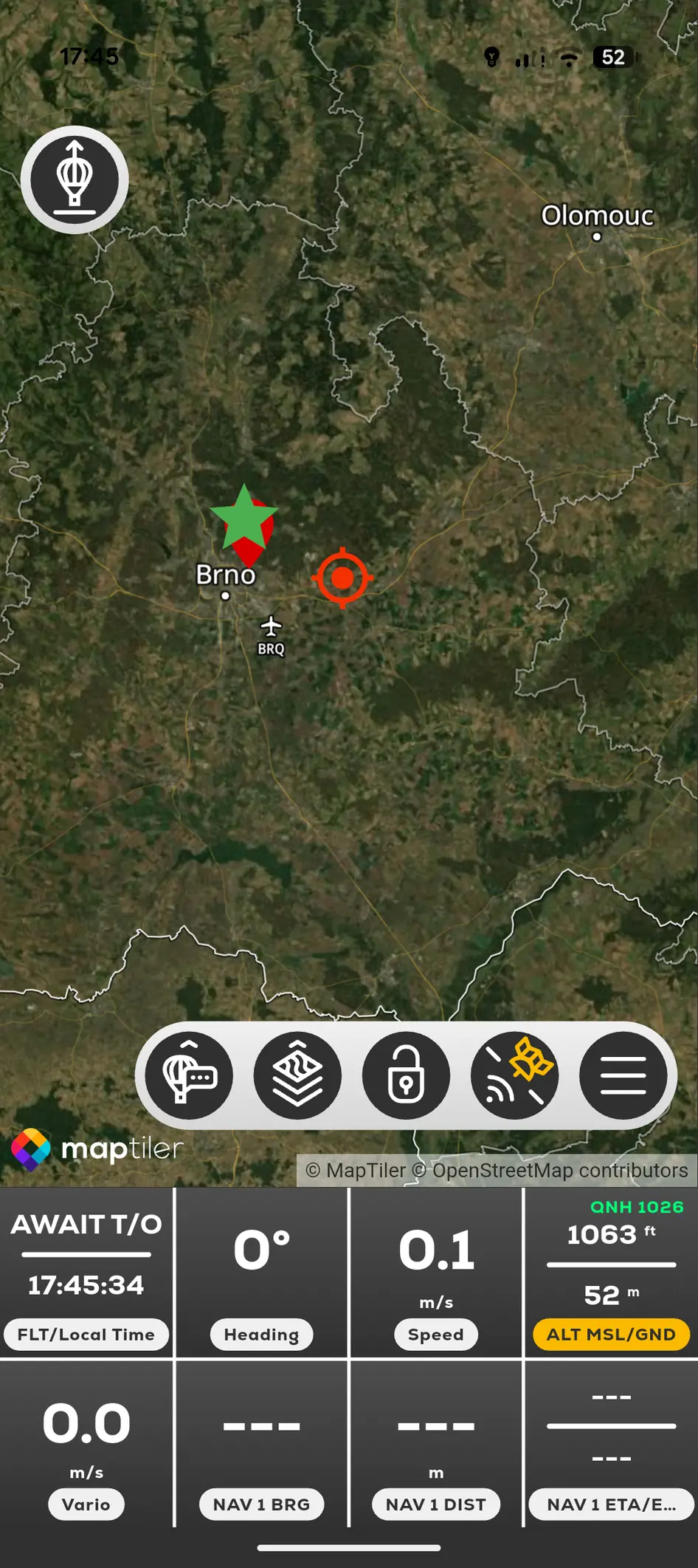
Satellite-style map view in FlyMate
  1. 01

    Tap the Satellite View control on the main map.

  2. 02

    Wait for imagery to load at the selected zoom level.

  3. 03

    Tap the control again to return to the chart-style map.

In this chapter

Main flight screen

Understand the map, instruments and controls used during the flight.

Flight screen at a glanceMap rotation and north-upLock CursorLive Flight Data